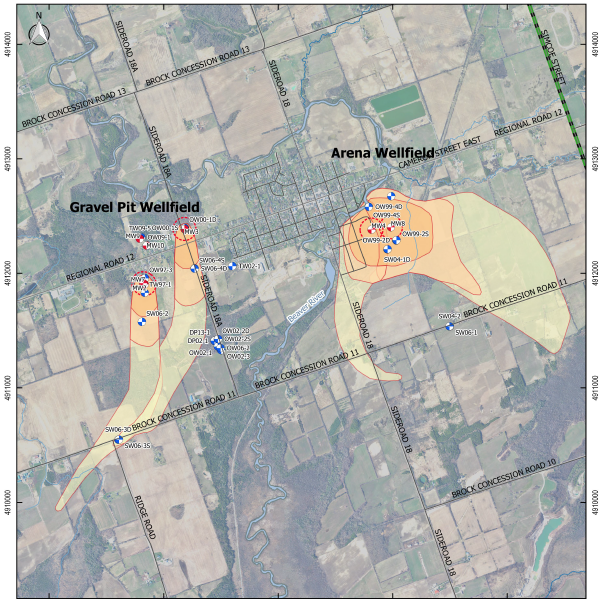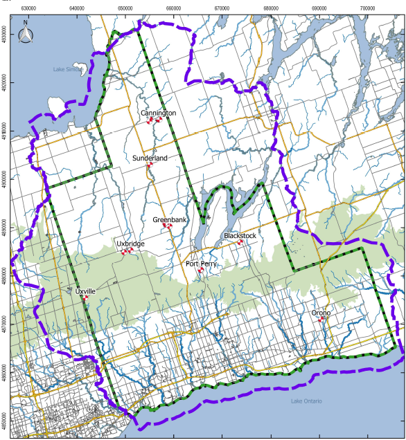
The Regional Municipality of Durham retained SSP&A in partnership with GeoProcess Research Associates to update the groundwater modelling for the region and the eight municipal wellfields within it.
SSP&A collaborated with GeoProcess Research Associates to update the regional groundwater model. Following the development of the geologic model and the regional groundwater flow model, comprehensive local wellfield characterizations were conducted. Once the updated Durham Model was suitably calibrated to match regional steady-state and transient calibration datasets, and pumping tests responses interpreted at the municipal wellfields, the locally calibrated model was applied to meet the source water protection objectives of the study, including the following tasks:
- Delineation of Cones of Influences (COIs; WHPA Q1);
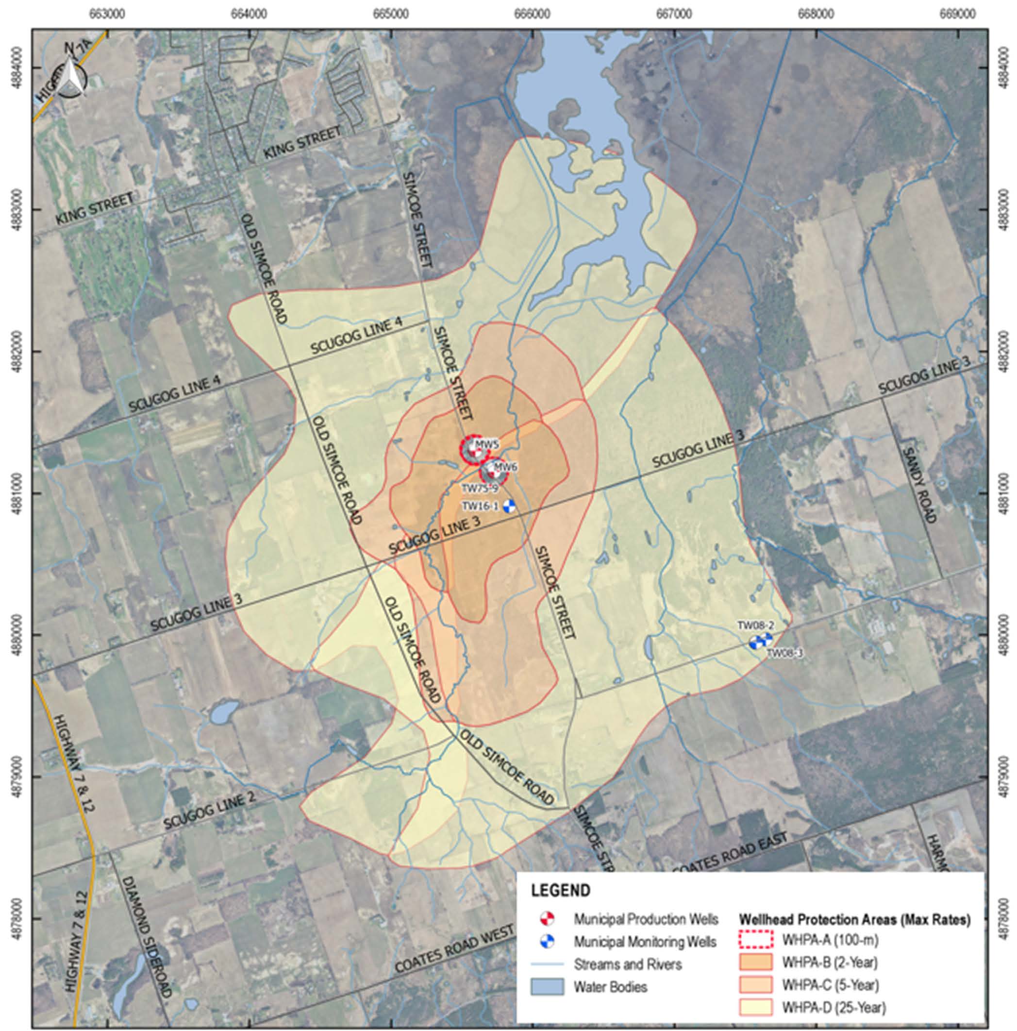
- Delineation of Wellhead Protection Areas (WPHAs);
- Assessment of aquifer vulnerability;
- Delineation of Highly Vulnerable Aquifers (HVA); and
- Delineation of Ecologically Significant Groundwater Recharge Areas (ESGRA).