SSP&A was retained to develop a groundwater model to support a Category 3 Groundwater Permit to Take Water for Canada Silver Cobalt Works. The modeling was conducted to estimate the likely groundwater inflows to mine development and to assess the effects of mine dewatering on surrounding groundwater levels and surface water features.
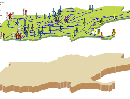
SSP&A’s general approach for the modelling involved development of a physically-based numerical model of the area surrounding the proposed mine workings to effectively synthesize the available data for the study area. Data from hydraulic testing were analyzed and used to constrain the specification of model parameters. SSP&A calibrated the model to match current pre-development conditions, then applied the model to estimate potential long-term groundwater inflows to the mine.
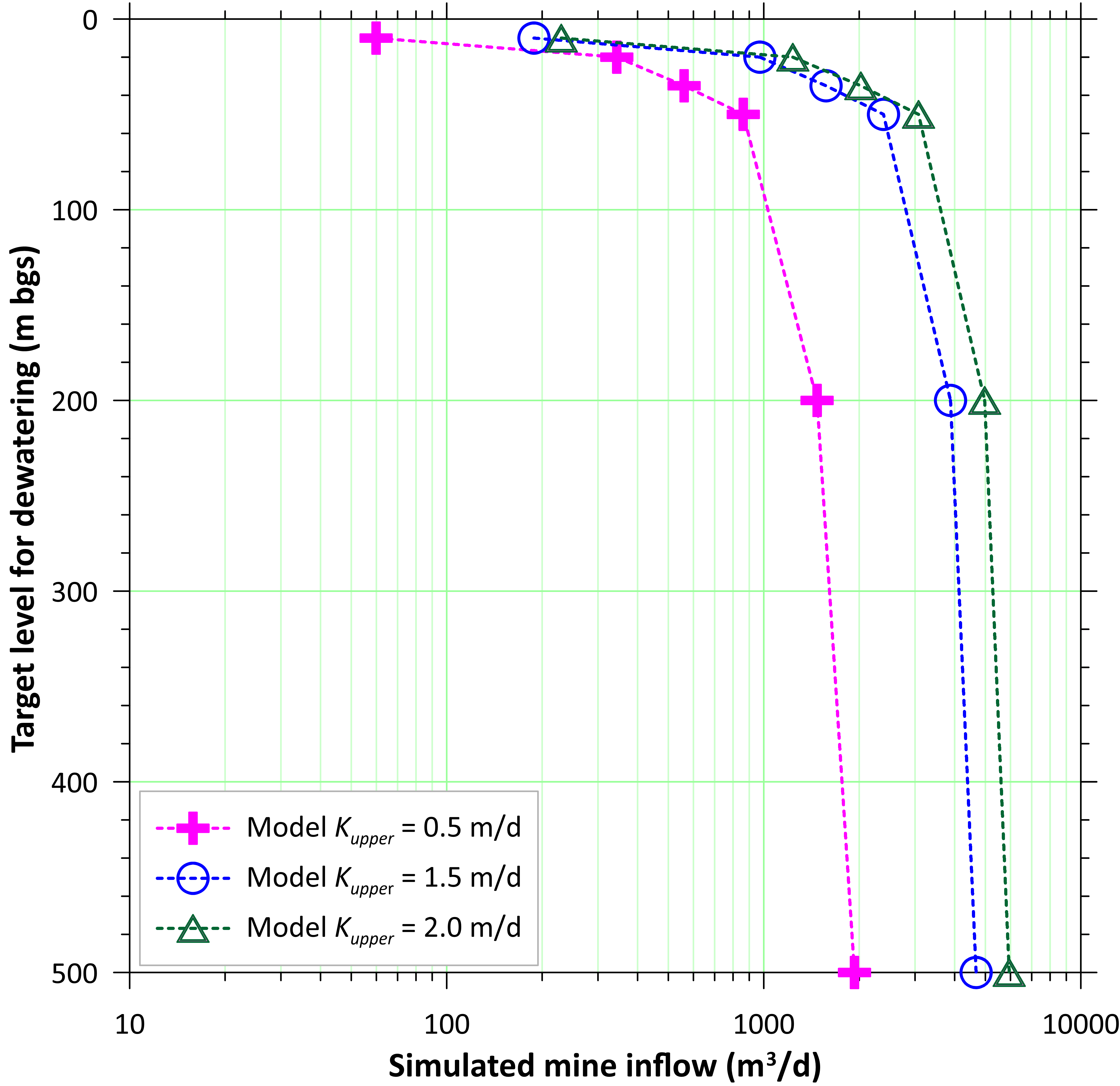
The model results suggested that the predicted inflows to the mine did not increase substantially below a depth of 50 meters, as the hydraulic conductivity is expected to decline with depth. The analyses also delineated the zone of influence, which was predicted to extend from the mine out to a distance of about 3 kilometers (km) to the west and about 4 km to the east from the mine. The results for mining conditions predicted reductions of groundwater discharge to surface water as the dewatering depth was increased; however, the reduction was relatively small.
Tasks performed by SSP&A include:
- Estimation of hydraulic conductivities from packer and slug testing data.
- Review of water level data to estimate representative average groundwater levels to serve as calibration targets for the groundwater flow model.
- Development and calibration of a groundwater model of the area surrounding the proposed mine workings.
- Estimation of the likely groundwater inflows to the mine workings.
- Estimation of the likely declines in groundwater levels and inference of the likely extent of the zone of influence of the mine workings.

