The Regional Municipality of Durham retained SSP&A in partnership with GeoProcess Research Associates to update the groundwater modelling for the region and the eight municipal wellfields within it.
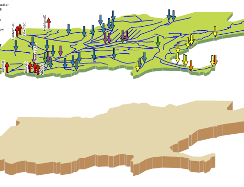
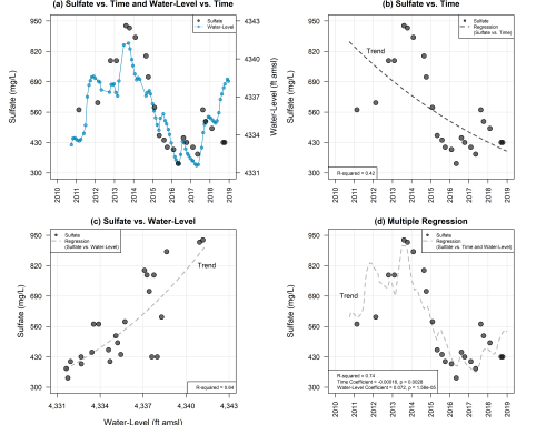
The SSP&A GeoProcess Team revised the conceptual model to reflect the most recent regional hydrogeologic understanding of the hydrostratigraphy, groundwater pumping network, and the recharge distribution across the whole Region. The Team constructed an updated Durham Model using the USGS MODFLOW-NWT code. Historical groundwater models and wellfield performance data were reviewed and key conceptual elements were consolidated into the new regional-scale model. The updated model incorporated new well data, an update of the geological layers, and an updated representation of the hydrologic features. SSP&A re-interpreted historical pumping tests to constrain the model calibration around the wellfields.
SSP&A was responsible for the local wellfield characterization for four communities in Durham Region, including Cannington, Blackstock, Uxbridge and Port Perry. Once the updated Durham Model was suitably calibrated to match regional steady-state, transient calibration datasets, and pumping test responses at the municipal wellfields, the locally-calibrated model was applied to meet the source water protection objectives of the study, including the following tasks:
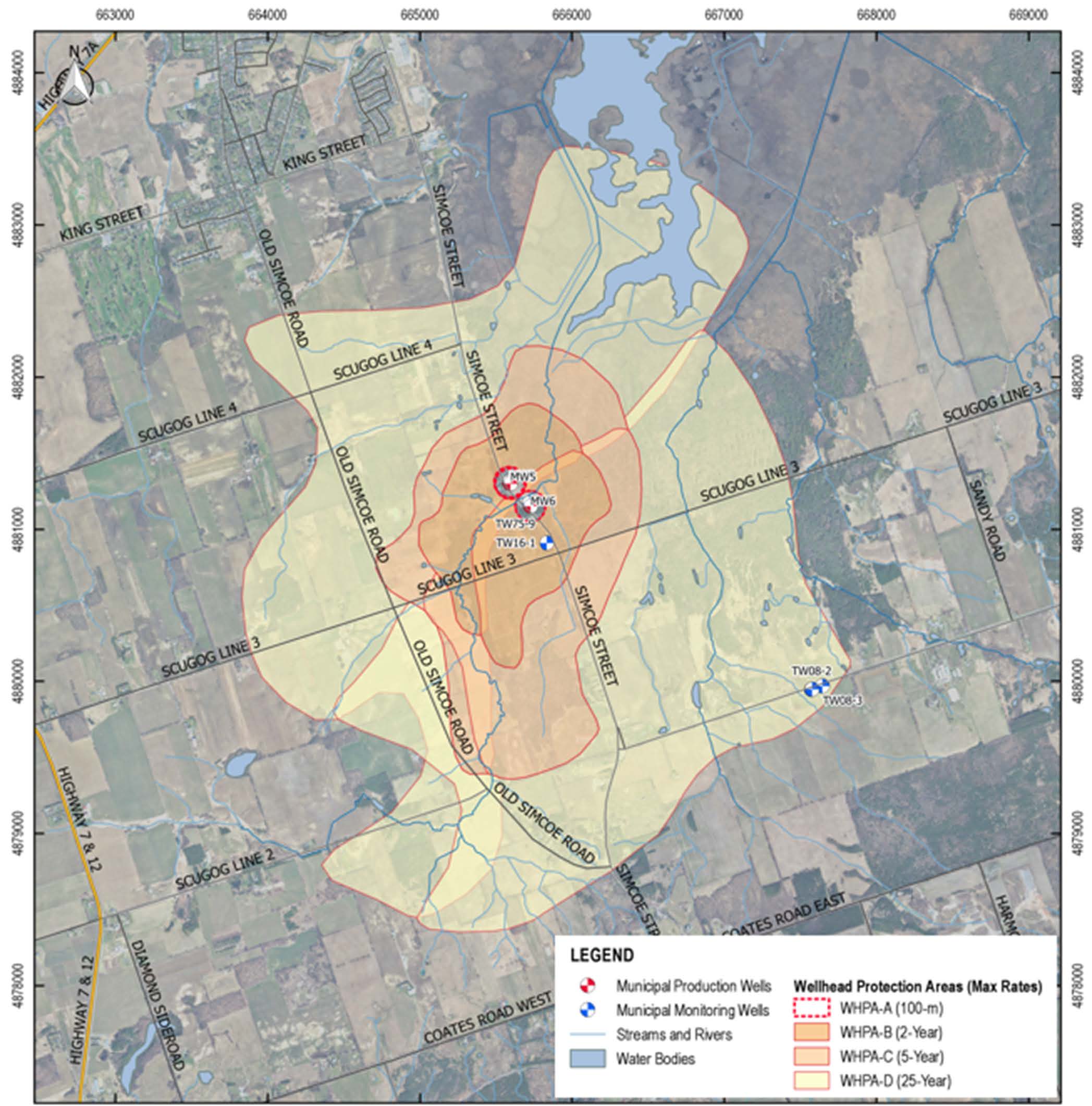
- Delineating wellhead protection areas;
- Assessing aquifer vulnerability;
- Delineating Cone of Influences;
- Delineating Highly Vulnerable Aquifers; and
- Delineating Ecologically Significant Groundwater Recharge Areas (ESGRA);
- Development of a Quality Control Plan;
- Extensive review of background reports, geologic and hydrogeological data;
- Re-interpretation of historical pumping tests;
- Updated regional groundwater modeling with new geologic layers and updated representations of hydrologic features;
- Local wellfield calibration;
- Delineation of wellhead protection areas and assessment of aquifer vulnerability; and
- Preparation of four comprehensive wellfield characterization reports for communities in the Durham Region.

