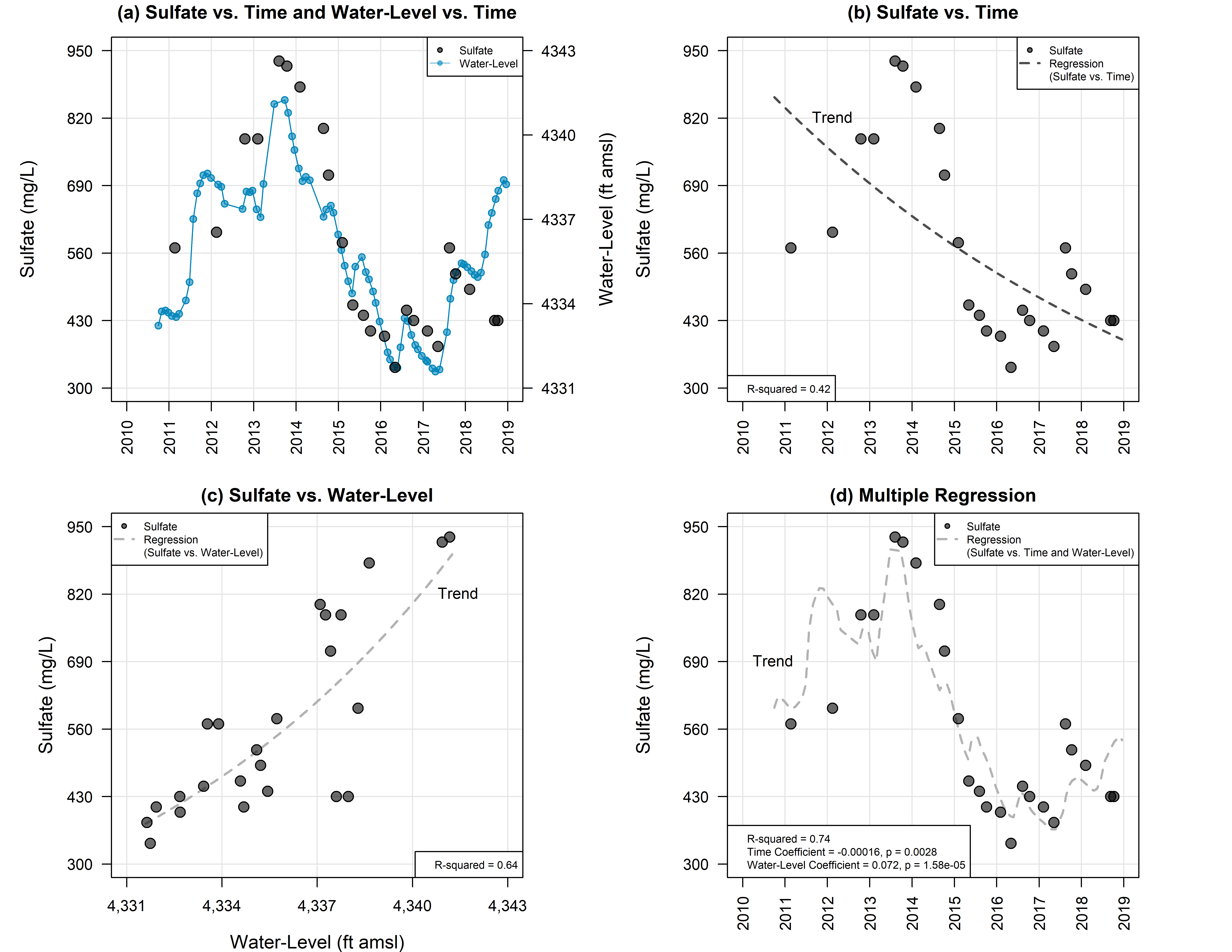
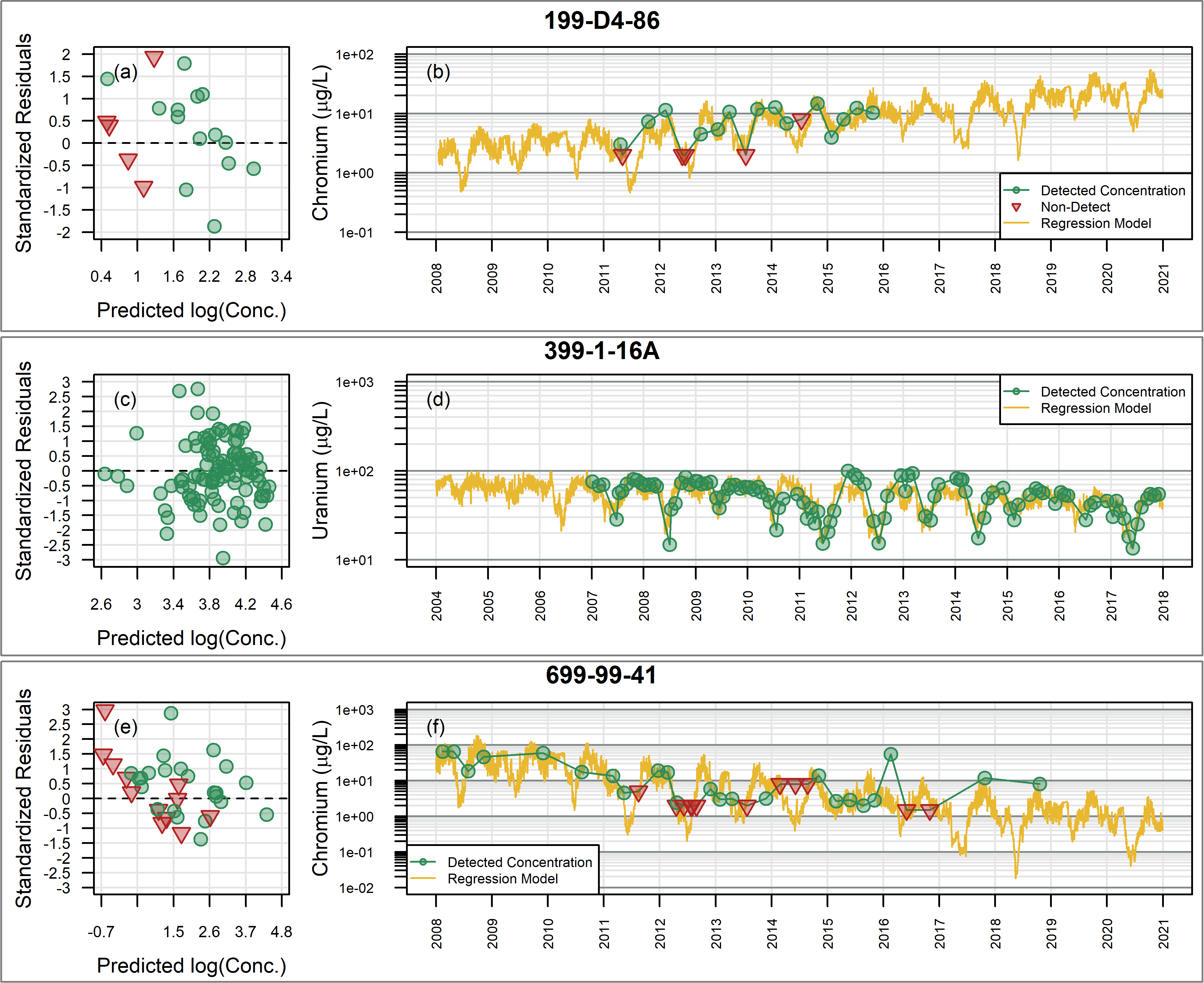
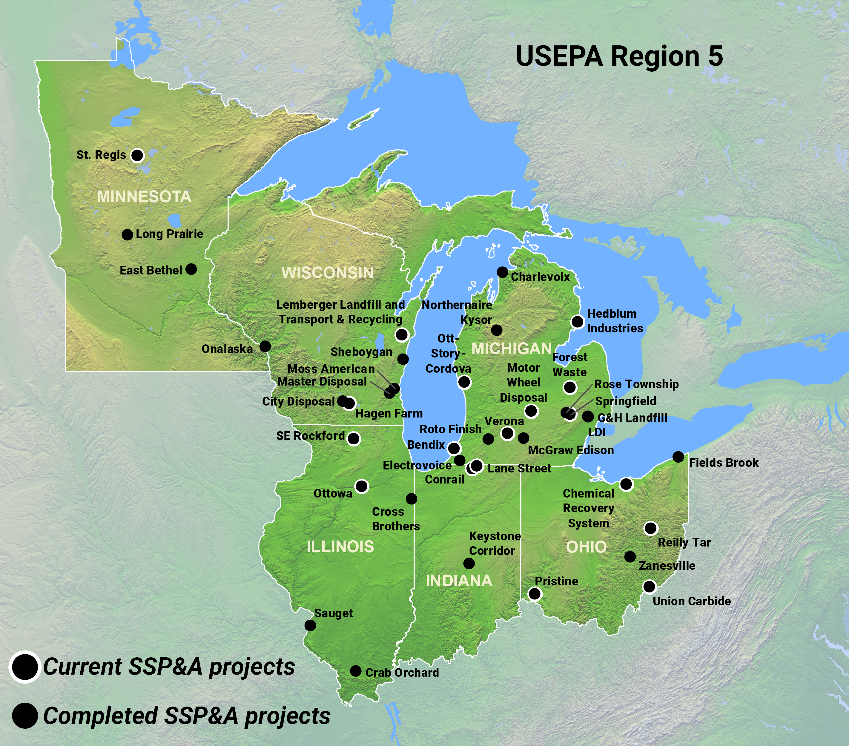
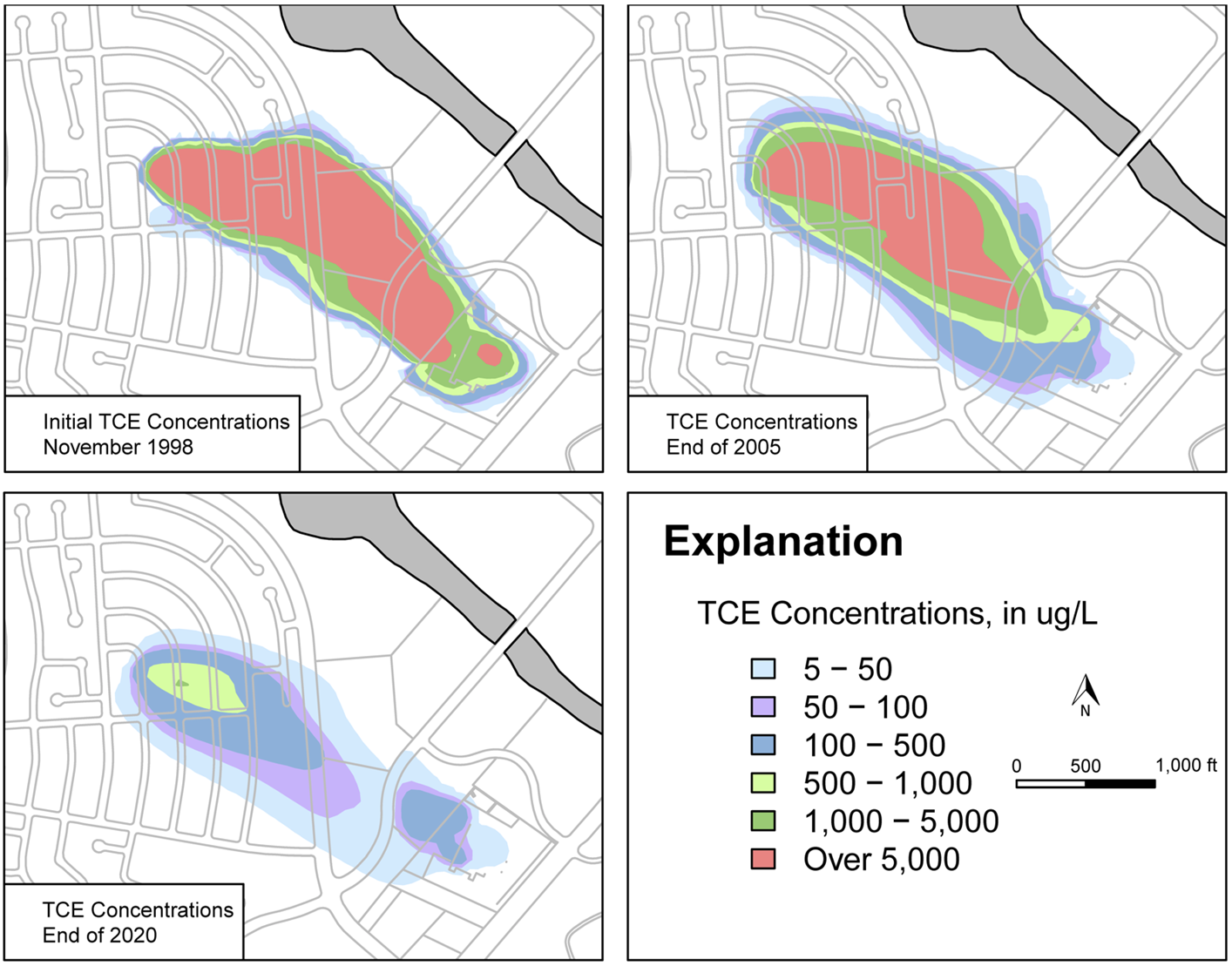
Mr. Cousins’ expertise is in spatial analysis, design, and maintenance of geographic databases, cartographic design and data visualization. He has over 30 years’ experience utilizing a variety of GIS software, with a specialized focus on ESRI software products and extensions. He has developed custom spatial tools using ArcObjects, Python, and other programming languages to improve accuracy and reliability. He develops methodologies to create formatted datasets for model input, creates visualizations of groundwater and surface-water model results in 2D and 3D output, performs spatial analysis of project data, and provides graphical support for reports, presentations, and litigation exhibits.
His experience includes a specific focus on identifying, locating, acquiring, and manipulating datasets from private and public sources to resample, reformat, and distill the pertinent information for spatial analyses. He has extensive experience creating and sharing derived spatial data and map packages with clients and stakeholders. Mr. Cousins has also served as an expert witness in a case involving a surface quarry viewshed analysis.
EDUCATION
- BS, Geography, University of Maryland, College Park, 1993
- AA, Cartography and Urban Planning, Montgomery Community College, 1990
AREAS OF EXPERTISE
- Spatial Analysis
- Application of GIS Software
- Map and Graphics Design
- Automation of Cartographic Output
- Graphic Presentations and Exhibits
- Data Acquisition and Integration
- Data Manipulation
- Automation of Spatial Analysis
PROFESSIONAL SOCIETIES
- American Association of Geographers (AAG)
- Urban and Regional Information Systems Association (URISA)
- North American Cartographic Information Society (NACIS)


