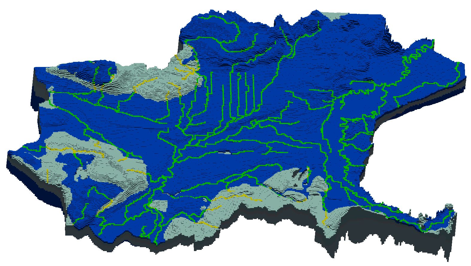
To address concerns regarding groundwater/surface-water interactions and resulting streamflow effects arising from significant increases in demand, SSP&A developed a groundwater flow model covering the western portion of the Washington Water Resources Inventory Area 1 in Whatcom County.
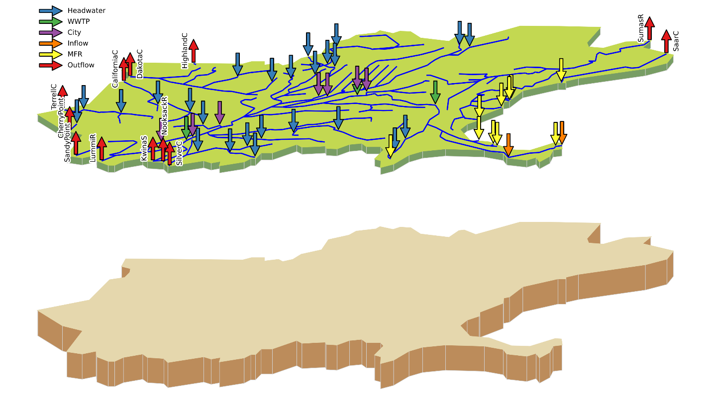
To develop the numerical flow model, SSP&A incorporated complex geology in a formerly glaciated setting, including interbedded layers of productive and impermeable formations. As part of a collaborative effort by numerous local stakeholders to characterize the Lower Nooksack River groundwater flow system, SSP&A quantified and incorporated water budget components into the numerical simulation including:
- Precipitation and agricultural recharge;
- Streamflow routing and seepage;
- Subsurface-tile drainage;
- Mountain front recharge;
- Transboundary fluxes; and
- Discrete water use from both pumping and direct surface water diversions and associated return flows.
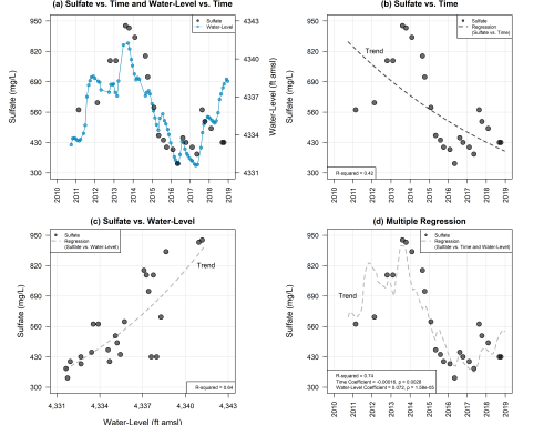
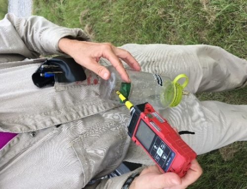
Groundwater level and streamflow data were collected and analyzed to develop datasets to constrain the numerical model calibration. An initial seasonal average transient flow model representing two characteristic annual seasonal stresses (irrigation and non-irrigation) was later refined to a monthly average transient version.
In partnership with local stakeholders, SSP&A developed and implemented a series of modeling scenarios using the monthly average transient model to simulate various water resource management alternatives. Possible management strategies considered by the scenarios include conversion of existing surface water diversions to groundwater pumping wells, managed aquifer recharge, lateral buffering of both shallow groundwater and direct surface water diversions some distance away from streams, and deepening existing groundwater pumping. The scenario analysis will support diverse groups of water users as they navigate ongoing basin-wide adjudication.

