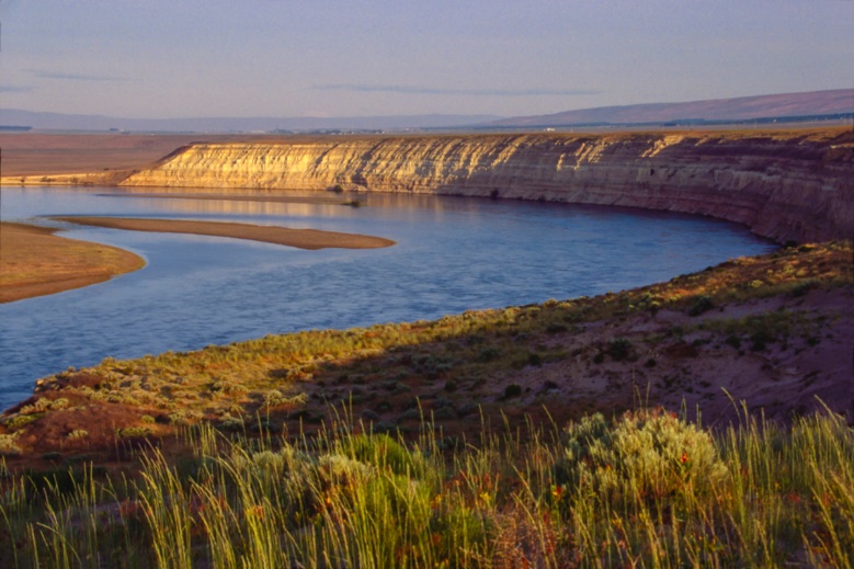
Historical operations at the U.S. Department of Energy (DOE) Hanford Site, in Washington State, involved a huge range of activities supporting nuclear processing and weapons production. These research, development, manufacturing, production, and waste disposition activities took place at a vast number of facilities over about 600 square miles along the shores of the Columbia River.
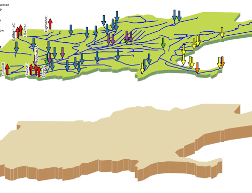
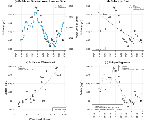
SSP&A was retained by the Hanford Mission Integration Solutions (HMIS) to provide consulting services to the Hanford Natural Resource Trustee Council (HNRTC) evaluating the locations, timing, and quantities of historical contaminant discharges to the Columbia River to support a potential Natural Resource Damage Assessment (NRDA) claim. To accomplish the work, SSP&A collated and reviewed raw historical sampling data derived products including two-dimensional (2D) and three-dimensional (3D) interpolations of contaminant plumes; published reports; time-series reconstructions; and 2D and 3D groundwater flow and contaminant fate-and-transport (F&T) models. SSP&A used the F&T models, together with hydrologically-informed groundwater level interpolation, river bathymetry data, and in-stream/riverbed studies, to estimate the most likely historical timing and spatial distribution of contaminant discharges (upwelling) into the Columbia River. These analyses, which focused on the time period from 1980 through 2020, were then compared with data obtained during limited field-based upwelling studies that had been completed offshore of some of the operable units (OUs).
This work was supported by various phases of 2D and 3D contaminant distribution mapping, temporal trend analysis, F&T calculations, and upwelling calculations. SSP&A participated in regular planning and status update meetings with the HNRTC. and is in the process (2023) of writing a detailed report that can support later stages of the NRDA claim process.
Read more about the Hanford site on the U.S. Department of Energy website at: Hanford Site | Department of Energy
Project Details
Highlights:
Coordination with Federal, State, and Local Agencies
Data Interpretation
Environmental Reports
Expert Reports
Fate and Transport Modeling
Groundwater 3D Modeling
Groundwater and Surface Water Assessment
Groundwater Modeling
Historical Operations Review
NRDA
Stakeholder Engagement
Time-Series Data Reconstruction

