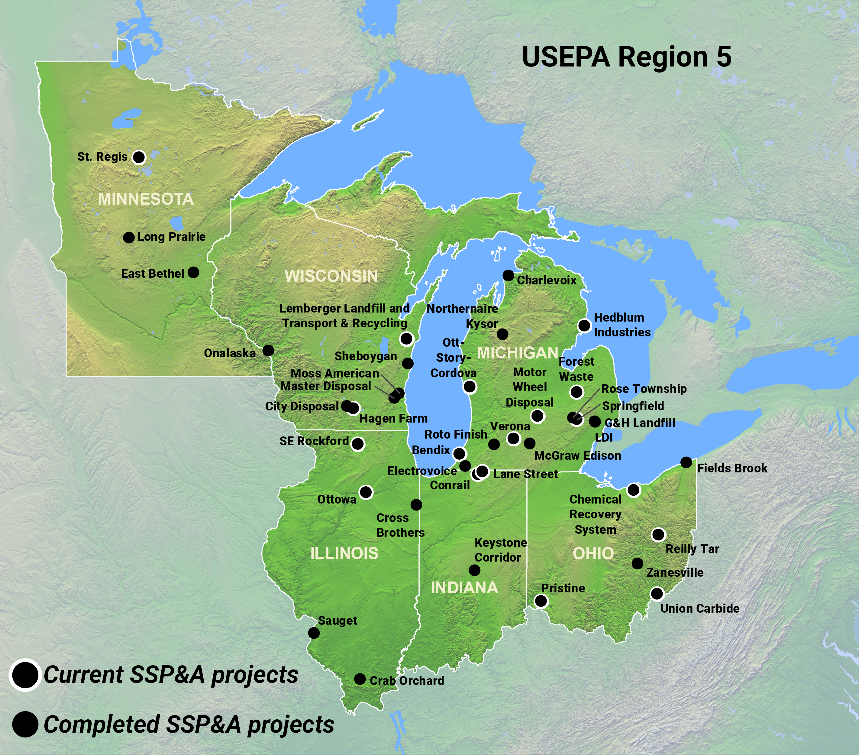
The U.S. Environmental Protection Agency (EPA) Region 5 oversees EPA CERCLA program procedures and implementation throughout Illinois, Indiana, Michigan, Minnesota, Ohio, Wisconsin, and 35 Tribes within the Great Lakes region. EPA Region 5 has retained SSP&A over a period of nearly 20 years to provide technical support for Region 5’s Groundwater Evaluation and Optimization System (GEOS).
Specifically, SSP&A provides the following site-specific technical support services:
- Reviews of available data, information, and reports prepared by (potentially) responsible parties and their consultants (RPs), with preparation of comments and recommendations for EPA.
- Data entry and data quality assurance/quality control (QA/QC).
- Data management, and implementation of calculations upon request.
- Development of appropriate and at times novel analysis methods and procedures for remedy performance evaluation and optimization purposes, including but not limited to:
- Mapping of groundwater elevations and hydraulic gradients, and of contaminants in soil, groundwater, and soil vapor.
- Conducting time-series analysis for groundwater elevations, streamflows, contaminant concentrations, and other longitudinal data using maximum-likelihood techniques.
- Application of analytical and numerical modeling techniques for soil vapor, vadose zone migration, and saturated zone migration.
Although specific activities and tasks vary depending on site-specific needs, all SSP&A Region 5 projects involve data quality management planning, data acquisition, data quality assessment, data management, and data analysis and visualization, using procedures such as those outlined below:
- Quality Management Planning: SSP&A writes Quality Assurance Project Plans (QAPPs), Sample Analysis Plans (SAPs), and Field Sampling Plans (FSPs), as needed for identified Region 5 sites. SSP&A develops Data/Project Quality Objectives and Measurement Performance Criteria against which acquired data may be compared to evaluate the accuracy, precision, completeness, comparability, representativeness, and sensitivity of the data set.
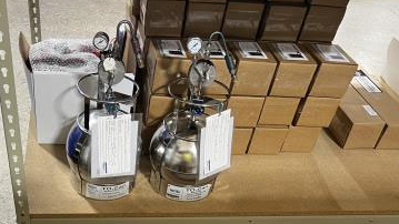
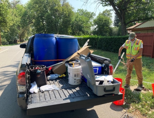
- Data Acquisition: SSP&A identifies and retrieves relevant data from site-specific documents. SSP&A also conducts and/or oversees field sampling activities. Measurement data may include groundwater levels, water quality parameters, chemical parameters, stream gage data, well and stream discharge/influent measurements, meteorological data, and geospatial data.
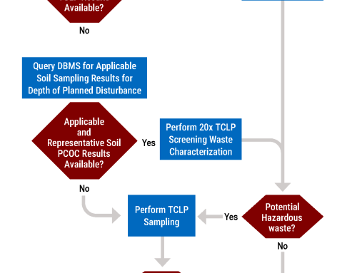
- Data Quality Assessment: SSP&A developed and implemented a process for evaluating secondary data (i.e. data obtained from sources outside of SSP&A); performs in-house data quality reviews and data validations (e.g. Stage IIa/IIb data validations) of analytical data obtained from field sampling events; and evaluates project data sets to assess conformance with Project/Data Quality Objectives and identify data gaps.
- Data Management: SSP&A developed and implemented a data management process to securely store, maintain, document, and disseminate environmental data for multiple sites simultaneously.
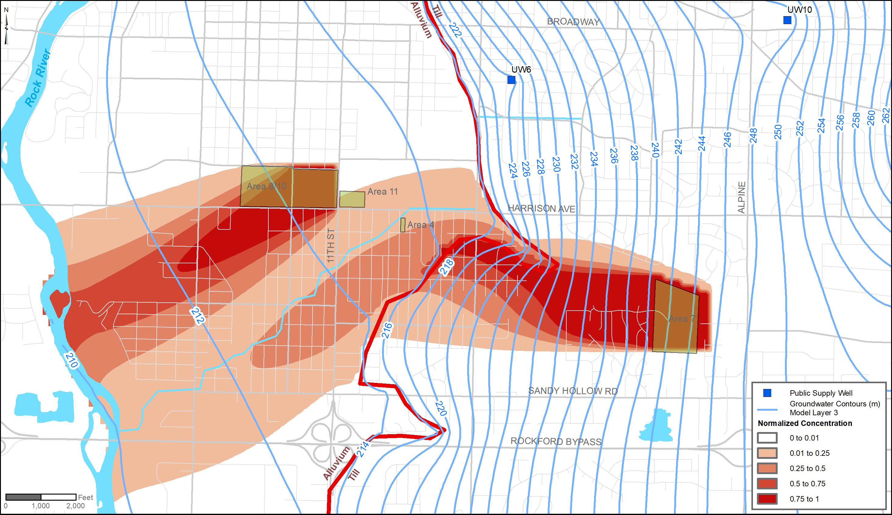
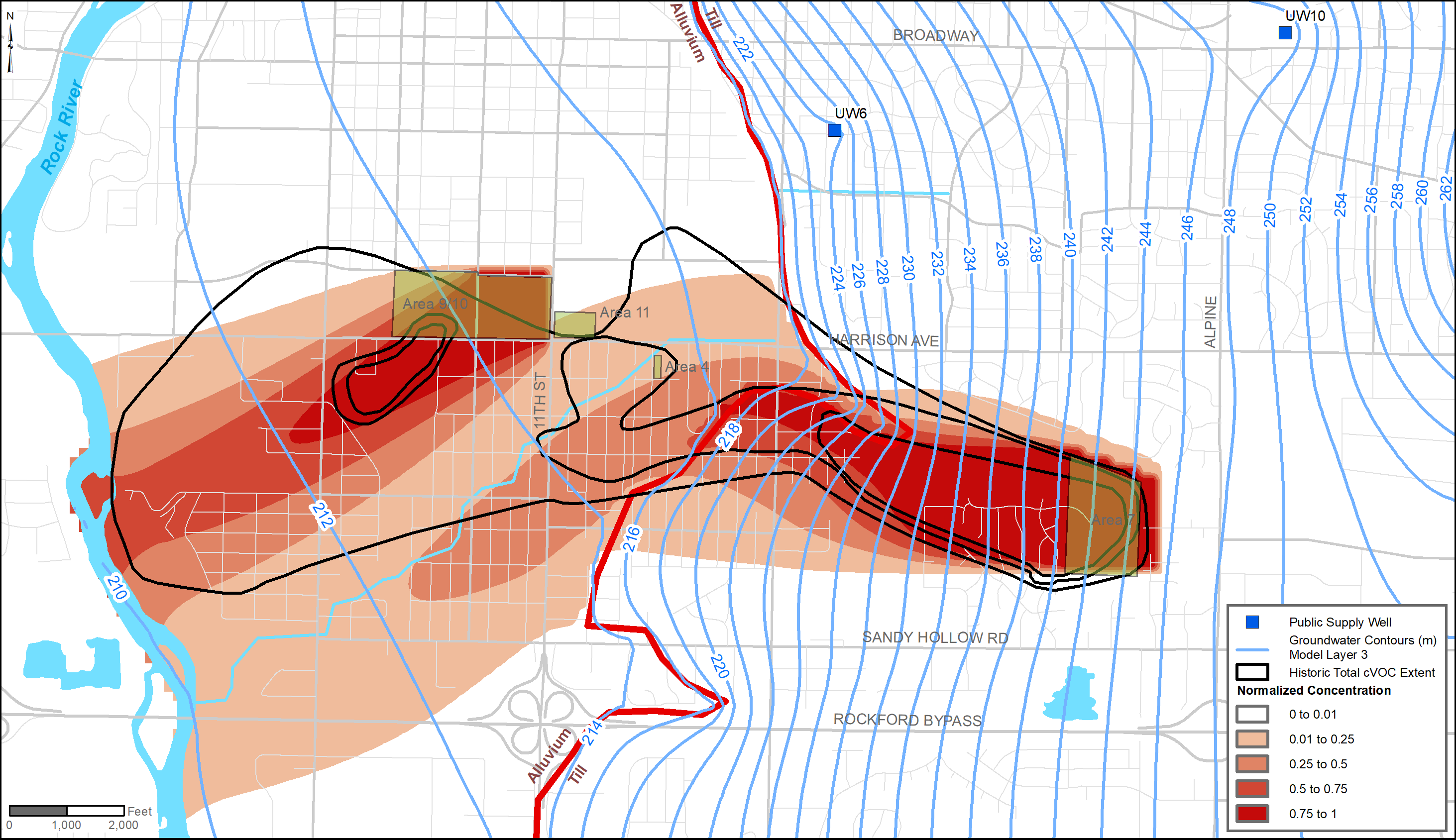
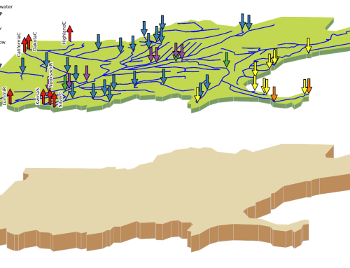
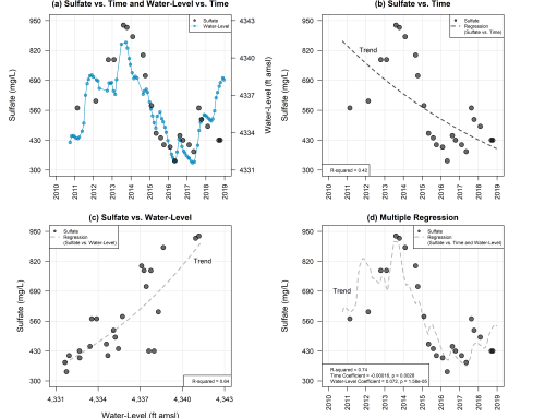
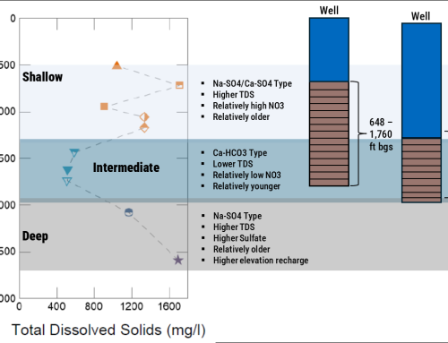
- Data Analysis and Visualization: SSP&A uses hydrological, chemical, and geological data to address site-specific needs. Examples of data analysis and visualization tasks include: water-level mapping, particle tracking, three-point gradient analysis, two-dimensional (2D) and three-dimensional (3D) contaminant mapping, temporal trend analysis, and the development of detailed Conceptual Site Models (CSM) for complex sites.

